(Third in a series)
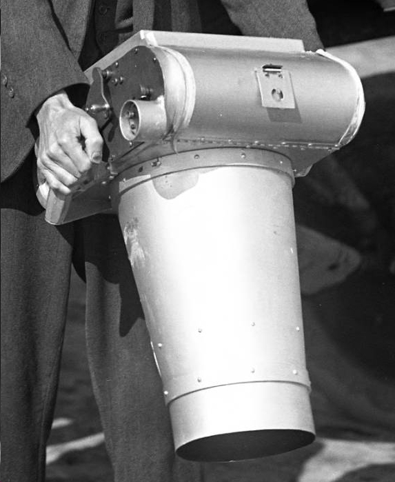
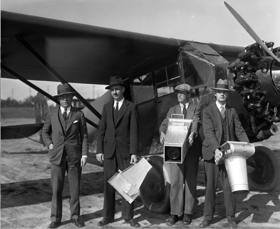
A large-format camera used for aerial surveying.
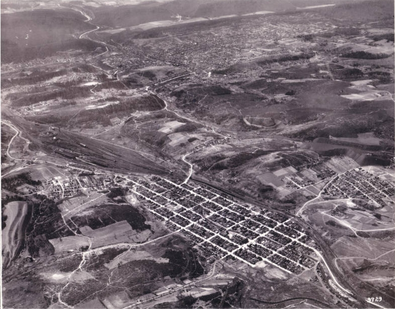
In previous posts we shared with you two sets of aerial images: the borough of St. Clair, PA and a coal mine at Raven Run, PA. Today we we provide several close-ups showing how Pottsville, PA looked in the 1930s. We enlarged these images from a single aerial photo of Pottsville, PA taken during a 1936 fly-over.
On the left is one of the large cameras used to take these kinds of photos by the Dallin Aerial Survey Company.
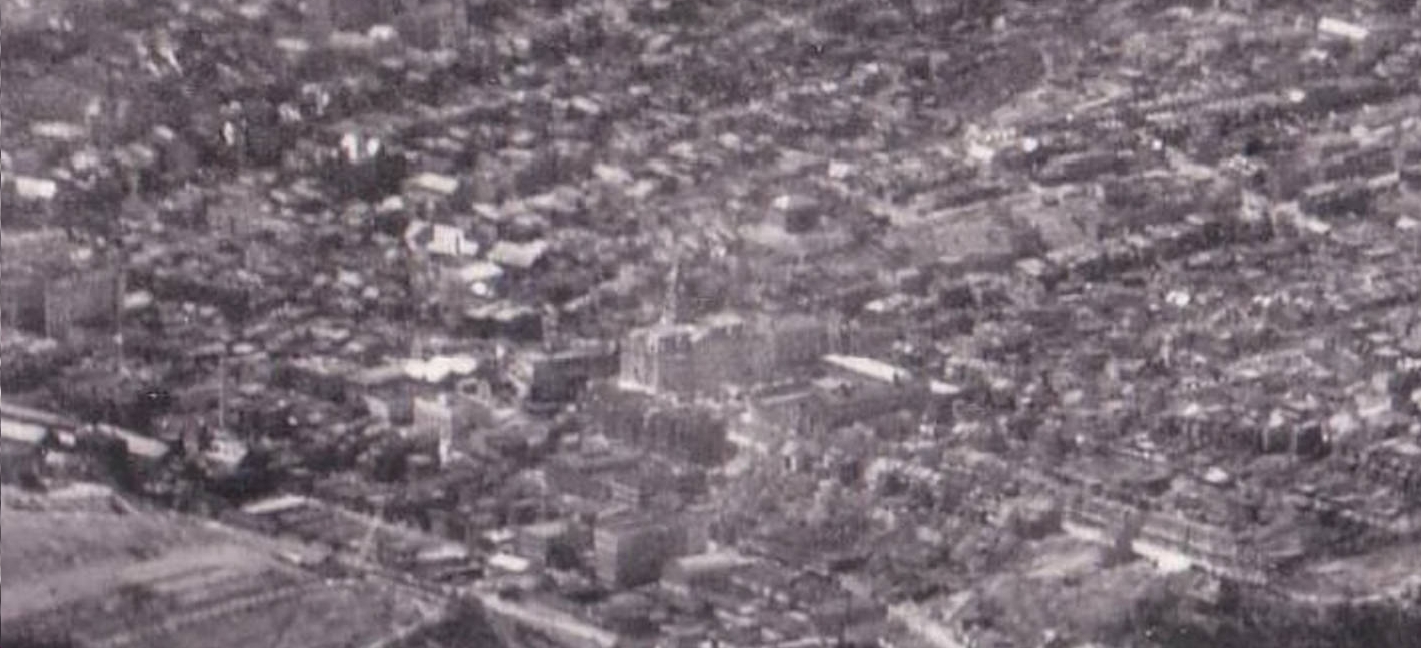
This Pottsville, PA photo was taken on May 5th, 1936 looking south over the town. The shadows seem to confirm the time shown on the courthouse clock—it was 1:23pm in Pottsville.
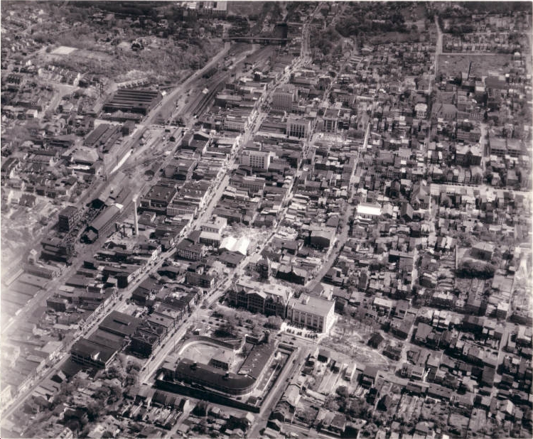
May 5th, 1936. Pottsville, PA
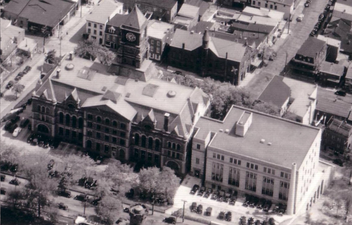
The Courthouse clock shows the early afternoon time. View is from Sanderson Street side of building.
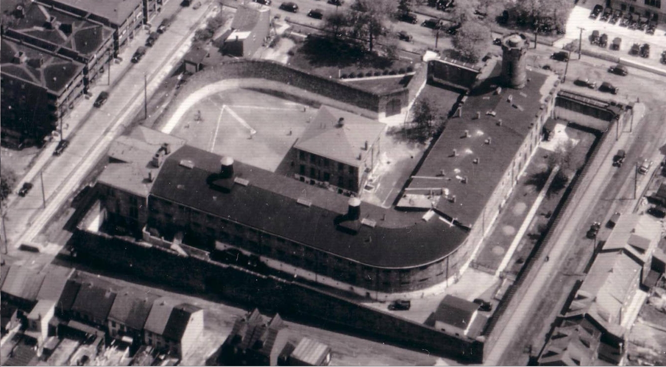
County jail, next to the Courthouse.
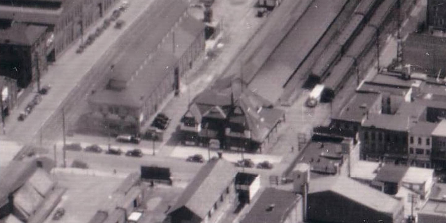
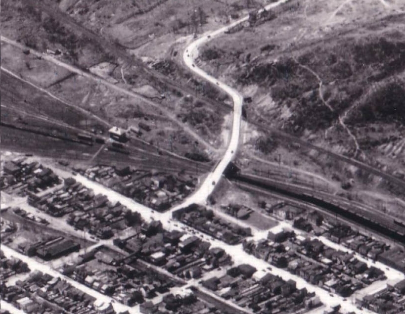
The Philadelphia & Reading passenger train station.
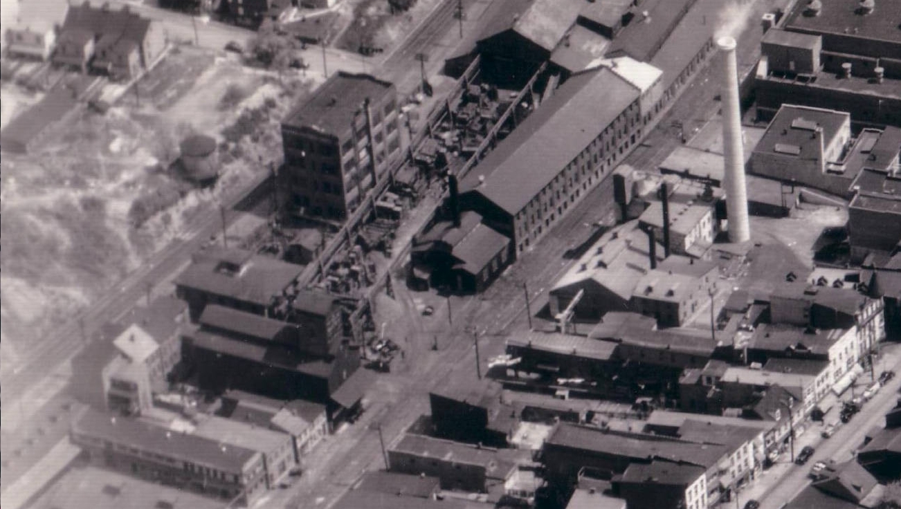
Industry along the rails.
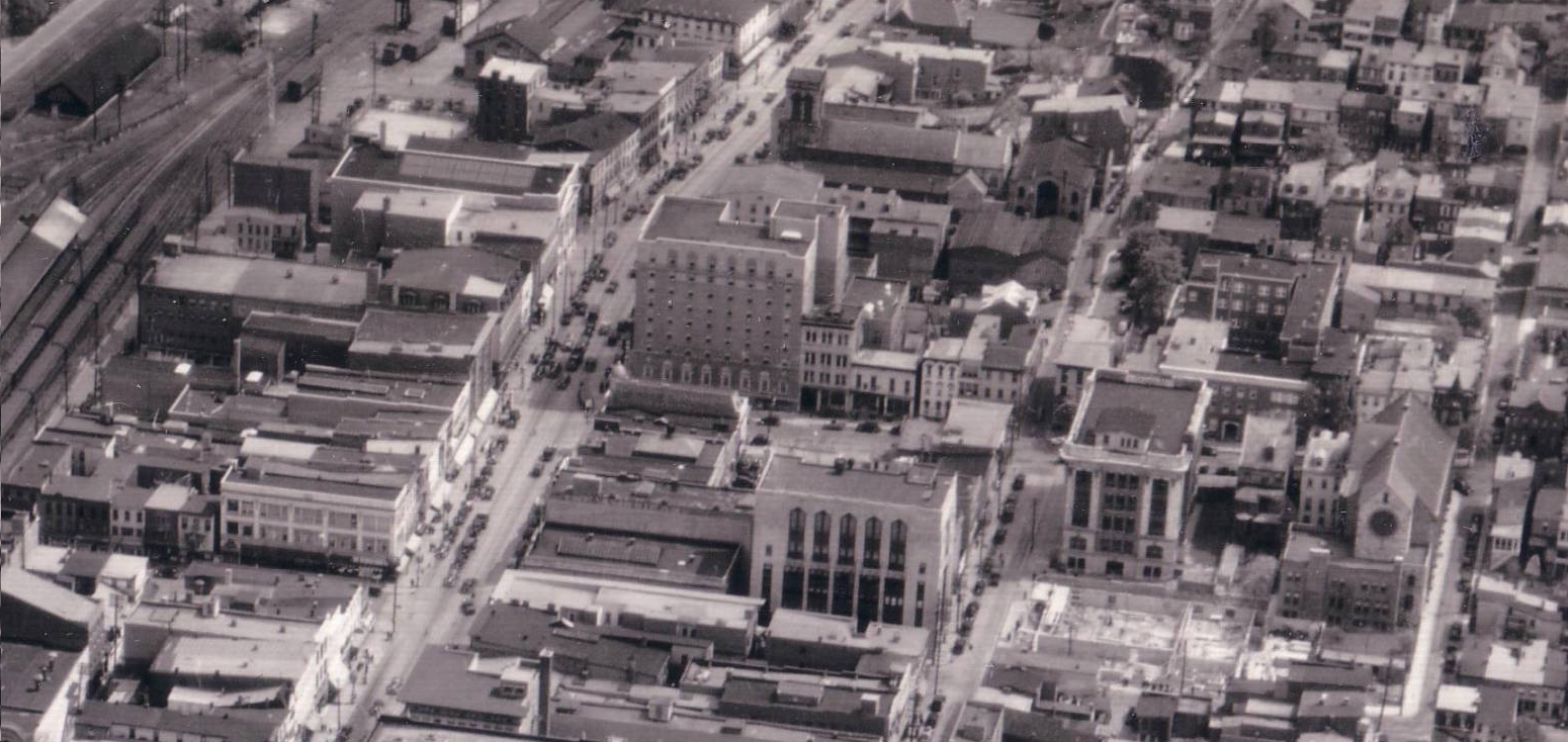
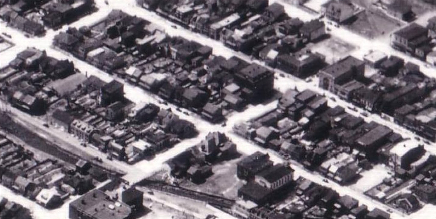
N. Centre Street, the wide street on the left half of the image, has midday traffic.
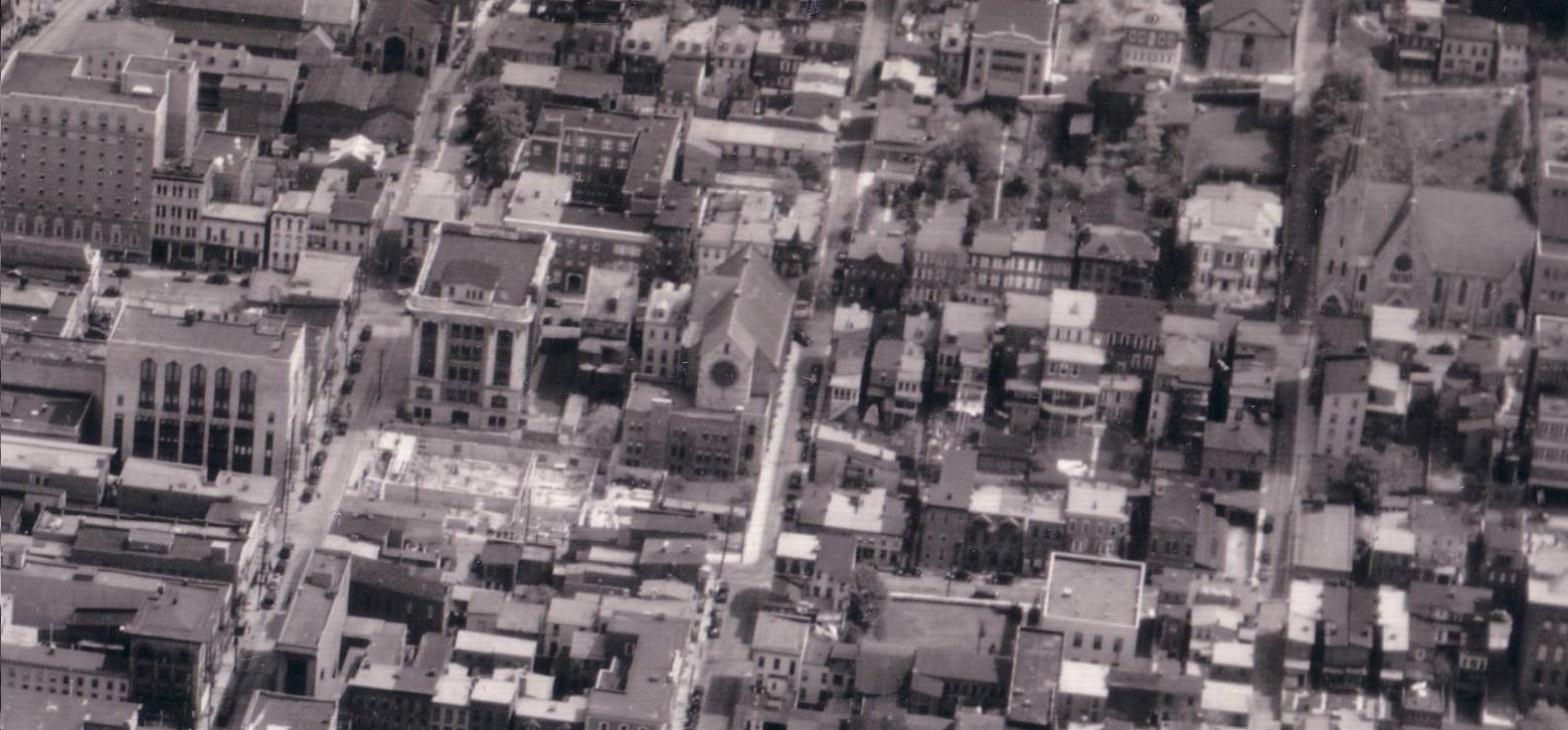
A building foundation under construction can be seen at center left.
Citation:
Hagley Museum and Library Digital Archives